
“Without proactive and long-term planning, Stinson Beach is at risk of disappearing,” says Mark Gold, executive director of California’s Ocean Protection Council (OPC).
Gold, along with Jack Liebster, Planning Manager at the Marin County Community Development Agency, are two of the foremost experts on sea level rise (SLR) at Marin’s beloved Stinson Beach. In fact, the two men and their agencies are working together to develop a plan for May 2021 which focuses first on public awareness and engagement. Gold and Liebster share some insights with us.
To what extent is the OPC involved in the Stinson Beach sea-level rise defense plan?
Gold: With an eye toward statewide preparedness, OPC will be involved in guiding the project to serve as a model for statewide efforts. This community-scale sea-level rise adaptation planning project will prepare Stinson Beach for a minimum of 3.5 feet of SLR by 2050. The 3.5 feet target is used as a benchmark for planning and was developed based on OPC’s Sea-Level Rise Guidance Document. The Stinson Beach project will be one of the first to implement this target into a comprehensive community-based sea-level rise adaptation plan, and OPC will work with Marin County to better understand how this planning target can be best incorporated into local adaptation planning efforts.
The Marin County Community Development Agency?
Liebster: Marin County’s Community Development Agency (CDA) has been working to address sea level rise (SLR) on the County’s ocean coast, including the Stinson Beach area, since 2013, when we initiated the Collaboration: Sea-level Marin Adaptation Response Team, or C-SMART*.
Building upon our previous [SLR] work, we are now focusing on developing a specific long-range Adaptation Plan for the Stinson Beach area as a pilot for eventual expansion to the rest of the West Marin shoreline. We chose the Stinson area because it is the most immediately at risk to impacts from sea-level rise and flooding among the seven communities in West Marin. As lead agency for the Stinson “Adaptation and Resilience Collaboration,” or “ARC”project, CDA will manage it throughout the 3-year planning process.
What are the first steps and when will those be taken?
Gold: We are at the beginning stages of this project, and OPC is currently working with Marin County’s Community Development Agency to develop a work plan. We anticipate this project to begin in May 2021, and the first step of this project is to kick off the public engagement process.
Liebster: Relying upon our long relationship with folks on the coast who are in SLR’s path, we have already asked that they pull together an initial group to help guide the program. At the same time, there are many others who have a stake in the area — especially the beach itself. Some of those stakeholders are more difficult to identify and enlist, so we are actively working with different county departments and community groups to bring such representatives aboard. One of the earlier tasks in the project is to develop and implement a Stinson Beach visitation and use survey, to help us better understand who is using the beach, where they are coming from, what they are doing, and how we can involve these stakeholders in the planning process.
Another early piece of work will be updating and expanding the data in our Ocean Coast Vulnerability Assessment to paint a comprehensive picture of how every part of the study area is affected at different stages of sea level so we can later determine the kind, extent and phasing of adaptation measures, and the programs needed to implement them.
Why is the community and its involvement in the plan so vital?
Gold: Sea-level rise is going to significantly alter the way of life for many Californians, and adapting to sea-level rise requires difficult trade-offs and decisions. In order for these decisions to be made, communities need to be at the center of the adaptation planning process from the very beginning. They need to fully understand the threat posed by sea-level rise, the risks of not taking any action, and to feel empowered and invested in the planning process. Lessons learned from the community engagement strategies being developed in this project will serve as a model for engaging other coastal communities in sea-level rise adaptation planning.
Liebster: The harsh reality is that what is coming down on people along the coast is no fault of their own. Instead it is the collective effluence of the world as a whole that is causing the oceans to rise to threaten need and love along the shore. People in the path of sea level rise are powerless to stop it. But they do have the power to adapt to it, and we think people want to take their power back.
The existential questions related to sea level rise, especially in the long term, require the community to reach absolute understanding of their situation and be deeply engaged in developing an effective response. We’re confident if people participate in creating the solution, they will own it and make it happen. So we want to take a radical approach: we will provide technical and organizational support, but ownership and direction of the work will be the responsibility the whole community. (Yes, it does take a village.)
Can you share what some of the environmental measures will look like?
Liebster: Adaptation practitioners have identified more than 100 distinct measures that might be considered. It could start with temporarily closing a road that floods for a few hours on a few days when the highest tides occur, while at the same time sand bagging or floodproofing homes. As the waters rise higher, homes and other structures might be elevated so they can remain intact even with the deeper flood waters and taller waves that SLR will bring.
We are also studying the feasibility of constructing dunes on the beach, to offset both shoreline erosion and SLR drowning while protecting existing homes behind the beach (the study will be completed in a few months). We already have an example of a shoreline protection device (seawalls, groins, etc.) in the revetment that lines Seadrift. Other parts of the country have established buy-out programs to remove homes from hazardous areas, though that would be difficult given the high cost of real estate here. There could conceivably be land-swaps where homes are moved to safer locations and the vacated parcels are restored to native conditions.
Of all the coastal areas in Marin, why was Stinson Beach an immediate area of concern?
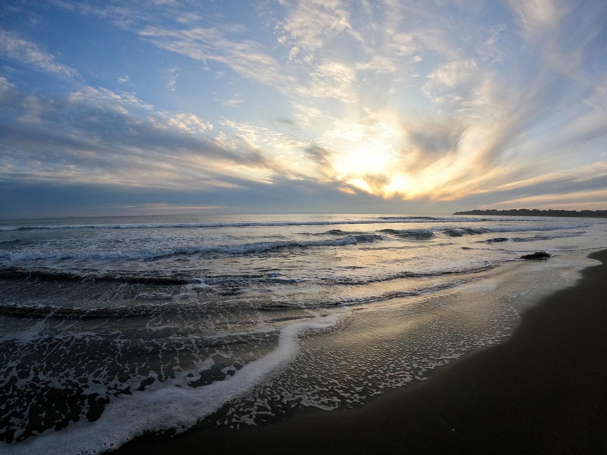
Gold: Stinson Beach is already impacted by erosion and coastal flooding, which will only worsen as sea levels rise. Without proactive and long-term planning, Stinson Beach is at risk of disappearing. Besides being a beloved location for public access and coastal recreation, Stinson Beach also protects Highway 1 and hundreds of homes from flooding. Marin County has already made progress in planning for sea-level rise and this project is a great opportunity to apply those efforts to a vulnerable beach.
Liebster: Due to its low elevation, structures within the community of Stinson Beach will bear the brunt of sea level rise earlier than other areas. Moreover, the beach itself provides a critical recreational resource to residents of Marin as well as the Bay Area and beyond, including disadvantaged communities. As year-round temperatures continue to rise growing climate change, the beach will be even more important as a place to escape the heat. But our preliminary assessments indicate that slow dual disaster of shore erosion and downright drowning, most of the beach at Stinson could be gone in 40–50 years. Our kids and grandkids will curse us for that.